The island

Nguna, in brief

Nguna lies in Undine Bay, north of Efate. Pele is its neighbour to the east and Moso its neighbour to the west.

Where it is

Nguna is an outer island of Efate, in Shefa Province. Two extinct volcanic craters shape it. The highest point is Mount Taputoara, at 593 metres. The name is spelled in more than one way, including Taputoara and Taputaora.

Thirteen villages stand on the north, east and south of the island. The west is largely uninhabited. A 2024 report by Vanuatu's Right to Information Unit names nine of them:

  • Taloa
  • Unakap
  • Newora
  • Malaliu
  • Mere
  • Matoa
  • Rewoka
  • Farealapa
  • Utanlangi

Most of the visitor bungalows are around Taloa, in the south.

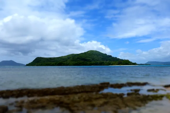
A low green island seen across a shallow reef, under a blue sky with white clouds
Pele, seen from the reef, 20 September 2014.

People and language

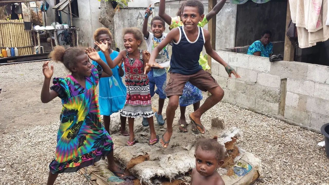
Children dancing and laughing on a gravel yard in a village, in bright clothes, with a concrete block wall behind
Children dancing in a village on Nguna.

The Nguna Area Council covers Pele as well as Nguna. It counted 1,790 people in the 2020 census. That figure is for both islands together, not for Nguna alone.

People counted in the Nguna Area Council, which includes Pele
YearPeople
19991,179
20091,576
20161,728
20201,790

Linguists describe the Nguna variety of the Efate languages, which is also called Nakanamanga.

History, and a word on kava

Rev. Peter Milne, a Scottish Presbyterian missionary, arrived on Nguna in 1870. He served in the New Hebrides, as Vanuatu was then called, for more than fifty years, and died in 1924.

Our older guide describes kava as a traditional drink in Vanuatu with its own ritual. The kava place is called a nakamal. Our advice on how to behave around one is on the Visit page.
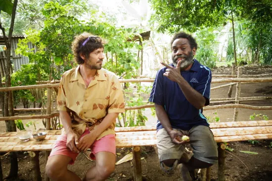
Two men sitting on a bamboo bench in a leafy garden
Kava on Nguna, 19 September 2014.

Cyclone Pam

Cyclone Pam was a Category 5 storm. It struck Vanuatu from 12 to 14 March 2015. The Government of Vanuatu's post-disaster assessment, as summarised by the International Labour Organization, records eleven deaths, about 65,000 people displaced from their homes and about 15,000 buildings damaged or destroyed.

The story of Cyclone Pam and the #saveVanuatu relief, with photographs, is on savevanuatu.org, part of the #saveVanuatu initiative.

Sources

The facts on this page come from these pages, which we have put into our own words. The photographs are David's own, and the visiting advice comes from our earlier guide to the island.

  1. Nguna (Wikipedia) https://en.wikipedia.org/wiki/Nguna
  2. Efate Offshore Islands Report, Vanuatu Right to Information Unit, 2024 https://rti.gov.vu/images/2024/BP%20Activity%20Reporting/Activity%201/Efate%20Offshore%20Islands%20Report.pdf
  3. Nguna Area Council population, citypopulation.de https://citypopulation.de/en/vanuatu/admin/shefa/36__nguna/
  4. Nguna-Pele Marine and Land Protected Area Network, UNDP GEF Small Grants Programme https://www.sgp.undp.org/resources-155/award-winning-projects/388-nguna-pele-marine-and-land-protected-area-network.html
  5. Utanlangi community declares a marine protected area, IISD SDG Knowledge Hub https://sdg.iisd.org/?p=149049
  6. Unakap reserve zones, World Parks Congress https://worldparkscongress.org/node/43.html
  7. Peter Milne (missionary), Wikipedia https://en.wikipedia.org/wiki/Peter_Milne_(missionary)
  8. Thieberger and Ballard, on the Nguna language, University of Melbourne https://minerva-access.unimelb.edu.au/bitstream/handle/11343/32646/284394_thieberger_ballard%201.pdf
  9. Cyclone Harold (Wikipedia), for the Category 5 rating of Pam https://en.wikipedia.org/wiki/Cyclone_Harold
  10. Vanuatu Tropical Cyclone Pam 2015: Post Disaster Needs Assessment (ILO) https://www.ilo.org/publications/vanuatu-tropical-cyclone-pam-2015-post-disaster-needs-assessment
  11. Getting there, Moso, Pele, Lelepa and Nguna, Vanuatu Tourism Office https://vanuatu.travel/au/provinces/shefa-province/moso-pele-lelepa-nguna/getting-there-moso-pele-lelepa-nguna